Day Two started in Matsuyama with a tram ride and a train to take me to the start of my pilgrimage, a small village called Uchiko. I’ll walk back to Matsuyama, taking a more meandering route up through the mountains.
The train (a single car, actually) filled up with about 75 middle school students on their way to a local park for a picnic lunch. But in typical Japanese fashion, none of the kids yelled, fought, or even talked loudly. Just quiet, polite indoor voices. Delightful.
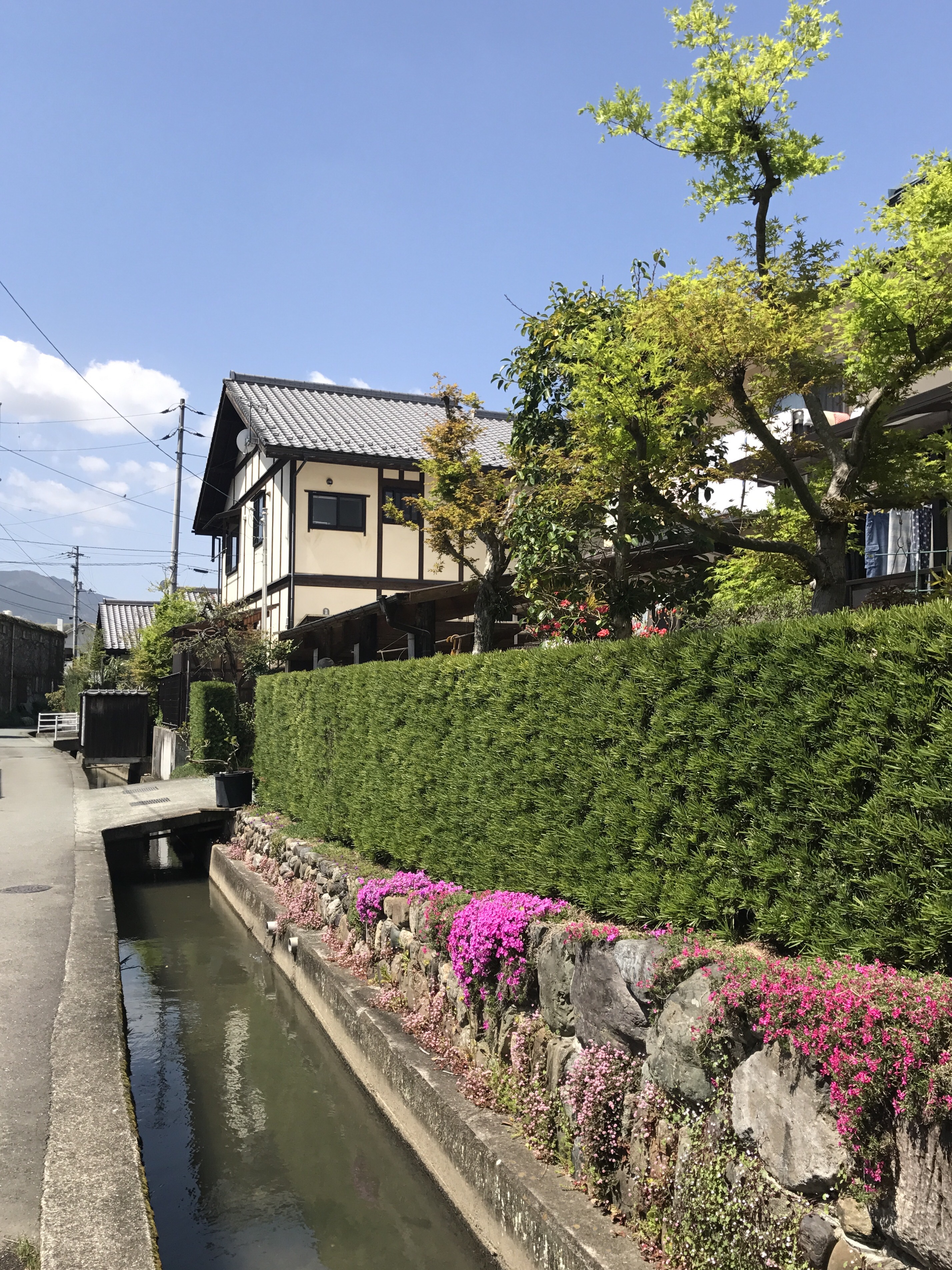
Today I had a relatively short walk, so I spent some time exploring Uchiko. It’s a lovely little town, exploding with spring flowers. I stopped at the kabuki theater, watched a candle maker at work, and strolled the “antique street” of original buildings.


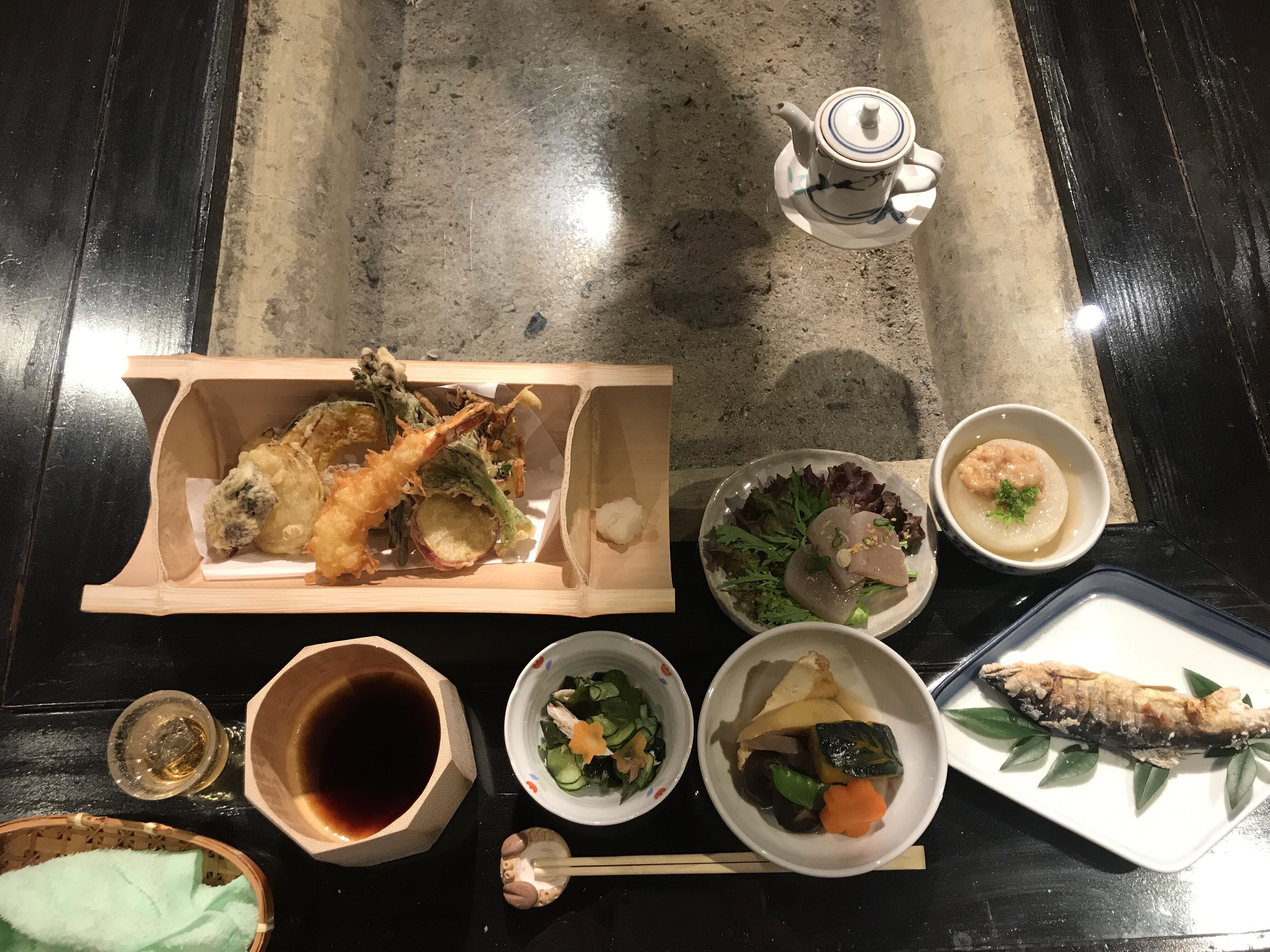
I made the rookie mistake of getting hungry first, and then looking for a place for lunch. Figuring out what’s a restaurant in Japan does not come easy to me. This might sound silly but honestly I find it hard to tell what’s what. Signs are of course in Japanese, and often I don’t find any obvious clues, like a picture of a knife and fork. But after some fumbling around, I found a little place to enjoy some gyoza. The elderly owner was concerned about helping me find my way, drew a map for me, decided that the map wasn’t good enough, and then drew a second, improved version.
Well, there were actually two possible routes today. One shorter, seemingly a nice trail through the woods. The other, slightly longer, along the main road. My lunch hostess guided me to the main route, but I wanted to give the trail a try. Well, after trying to find my way and asking a few folks for help, I called it, walked back to town, and returned to the main path. Getting (mildly) lost was a bit disconcerting; I’d thought the path would be a bit more obvious.

By now it was already well past noon and I still really hadn’t covered much ground. My map book marks all the distances between points, and of course I’ve done a lot of practice hiking at home. But still, it’s hard to get a sense of how much time it will take–and physically what it will feel like–to get from Point A to Point B.
And at first, yikes. It seemed like it was taking forever to make any progress. I certainly had to make it to my lodging by nightfall. But with time, my ability to translate the map into physical distance improved and I spotted: my first pilgrim!

A few more, uneventful hours on the road and I came to my home for the night. A bath, dinner, and a futon … hooray!


This is so cool! I love that the restauranteur drew you a map.
LikeLike